


Deepfake maps could really mess with your sense of the world
Satellite images showing the expansion of large detention camps in Xinjiang, China, between 2016 and 2018 provided some of the strongest evidence of a government crackdown on more than a million Muslims, triggering international condemnation and sanctions.
Other aerial images—of nuclear installations in Iran and missile sites in North Korea, for example—have had a similar impact on world events. Now, image-manipulation tools made possible by artificial intelligence may make it harder to accept such images at face value.
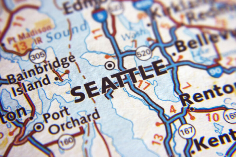
In a paper published online last month, University of Washington professor Bo Zhao employed AI techniques similar to those used to create so-called deepfakes to alter satellite images of several cities. Zhao and colleagues swapped features between images of Seattle and Beijing to show buildings where there are none in Seattle and to remove structures and replace them with greenery in Beijing.